| |
This
Khmer Rouge text described the DK administrative and political
geography, It was first published in 1977 by the DK Ministry of
Education for Elementary Class 2. Translated by Sour Bunsou and
Youk Chhang.
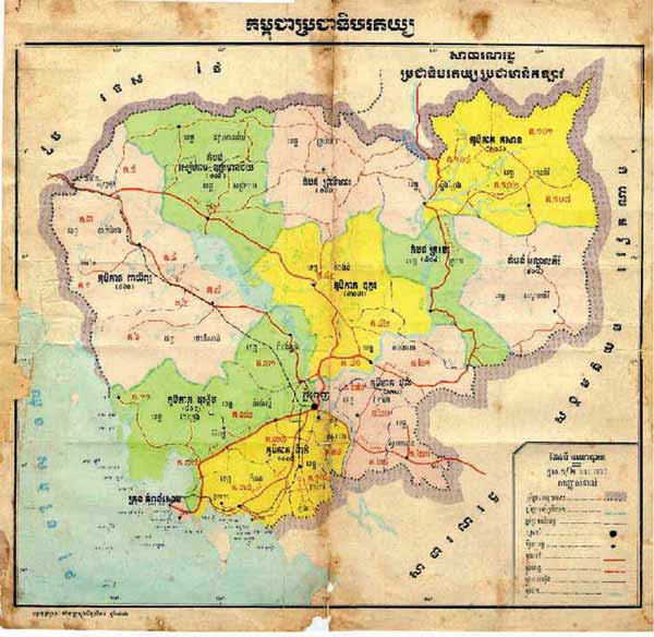
Kampuchea
consists of 19 provinces: Stung Treng, Ratanak Kiri, Mondul Kiri,
Kratie, Kampong Cham, Svay Rieng, Prey Veng, Kandal, Takeo, Kampot,
Koh Kong, Kampong Speu, Kampong Chhnang, Kampong Thom, Preah
Vihear, Oddar Meanchey, Siem Reap, Pursat and Battambang. These
provinces are further divided into 112 districts, 1,160
sub-districts, and many hundreds of villages. During the period of
our secret political struggle, and of our internal and
revolutionary war more than five years ago, with the aim of
creating more favorable conditions for communications,
administration, and work implementation to fulfill revolutionary
tasks in all sectors, our revolutionary organization divided the
country into new zones and regions on top of these former
provinces, districts, sub-districts, and villages. In addition, we
had established cooperatives since the revolutionary war. Since
the great victory on April 17, 1975, our revolutionary
organization has found it expedient to retain the new zones and
region subdivisions as being highly useful for administrative
purposes.
At
present, our Democratic Kampuchea has been divided into six zones
and some other regions distinctively designated with their own
administrations, not under any zone. Katnpong Som is a city under
a separate administration like the other regions. The regions or
cities under separate administrations are directly controlled by
the State Organization, not via any zone. At the same time, we
have created certain new districts, including Koh Chey (formerly
called Preah Sdech district), Krasaing district in the East Zone,
Taing Kok and Baray districts in the North Zone, Choam Sangke in
the Southwest Zone, Thmar Sat in the West Zone, and Kandieng, Kdat,
Thlea Ma-am, and Samlot in the Northwest Zone. Our six zones are
the Northeast Zone, East Zone, Southwest Zone, West Zone, North
Zone, and Northwest Zone. We do not establish a zone for each
province, and thus each of certain zones consists of two or more
provinces. For example, we have combined all of Svay Rieng and
Prey Veng together with part of Kampong Cham province located on
the left bank of the Mekong to form the East Zone and one district
of Kratie province (Chhlong) as well as a separate territory from
Kandal province. |